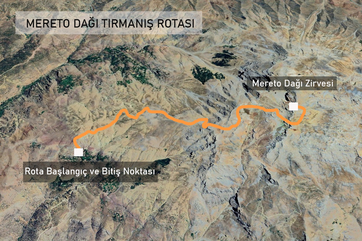
Route Information: Yürekli Village – Otnag Highland – Mount Mereto Summit
Total Distance: 18 km (Round trip)
Hiking Duration: 9-10 hours
Difficulty Level: Difficult
Suitable Time: All seasons
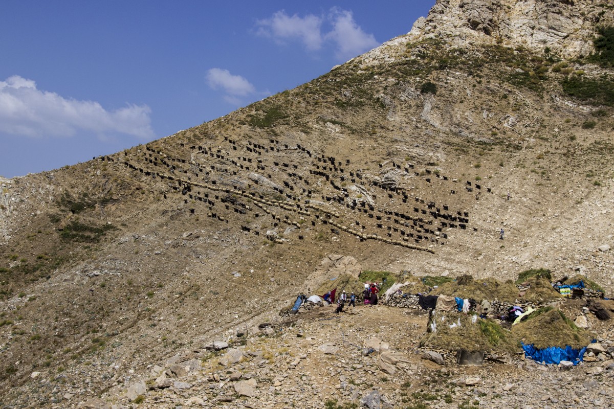
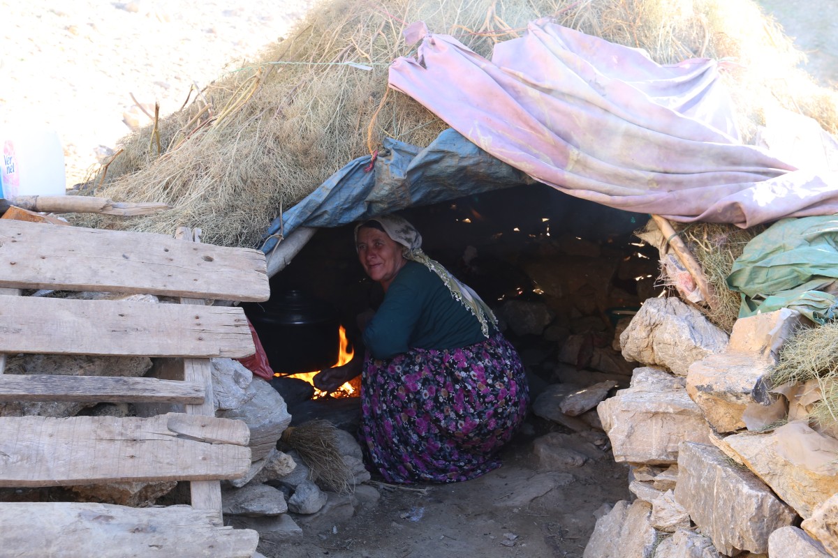
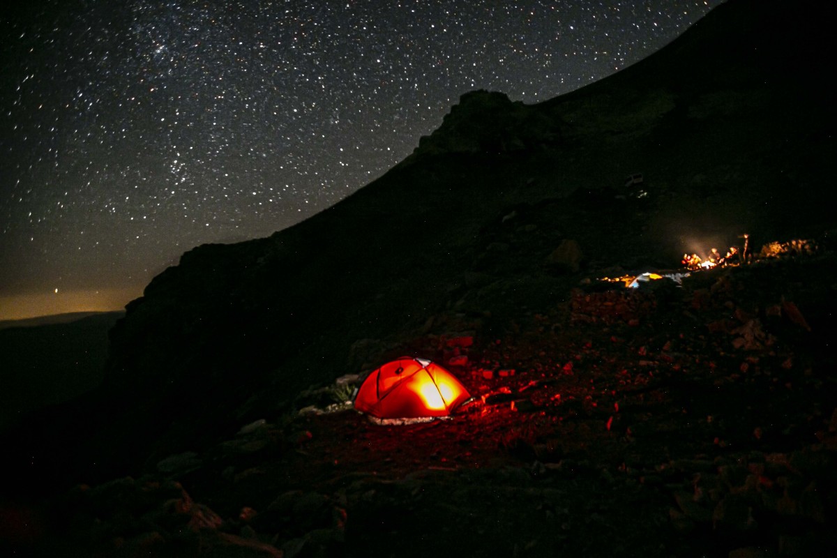
Accommodation: Suitable for camping. Additionally, during the summer months, hikers can stay in the highlands where local villagers reside.
Water Availability: There are springs along the route in all seasons; however there is a water source problem from the summit trail onwards, for approximately 2-3 hours of walking lenght.
Food: Food needs can be partially met with the help of villagers in Yürekli Village. Otherwise, hikers should bring their own supplies. During the summer, food can also be obtained from the highland.
Route Details
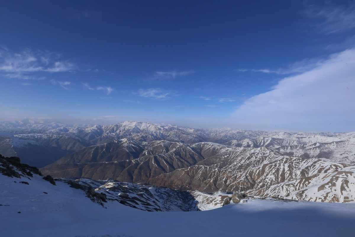
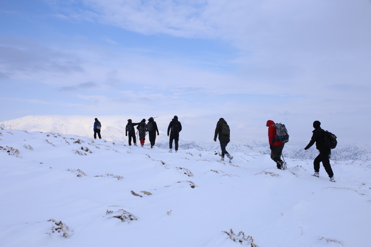
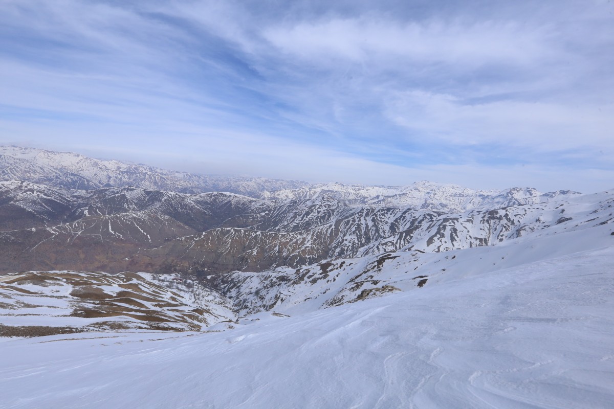
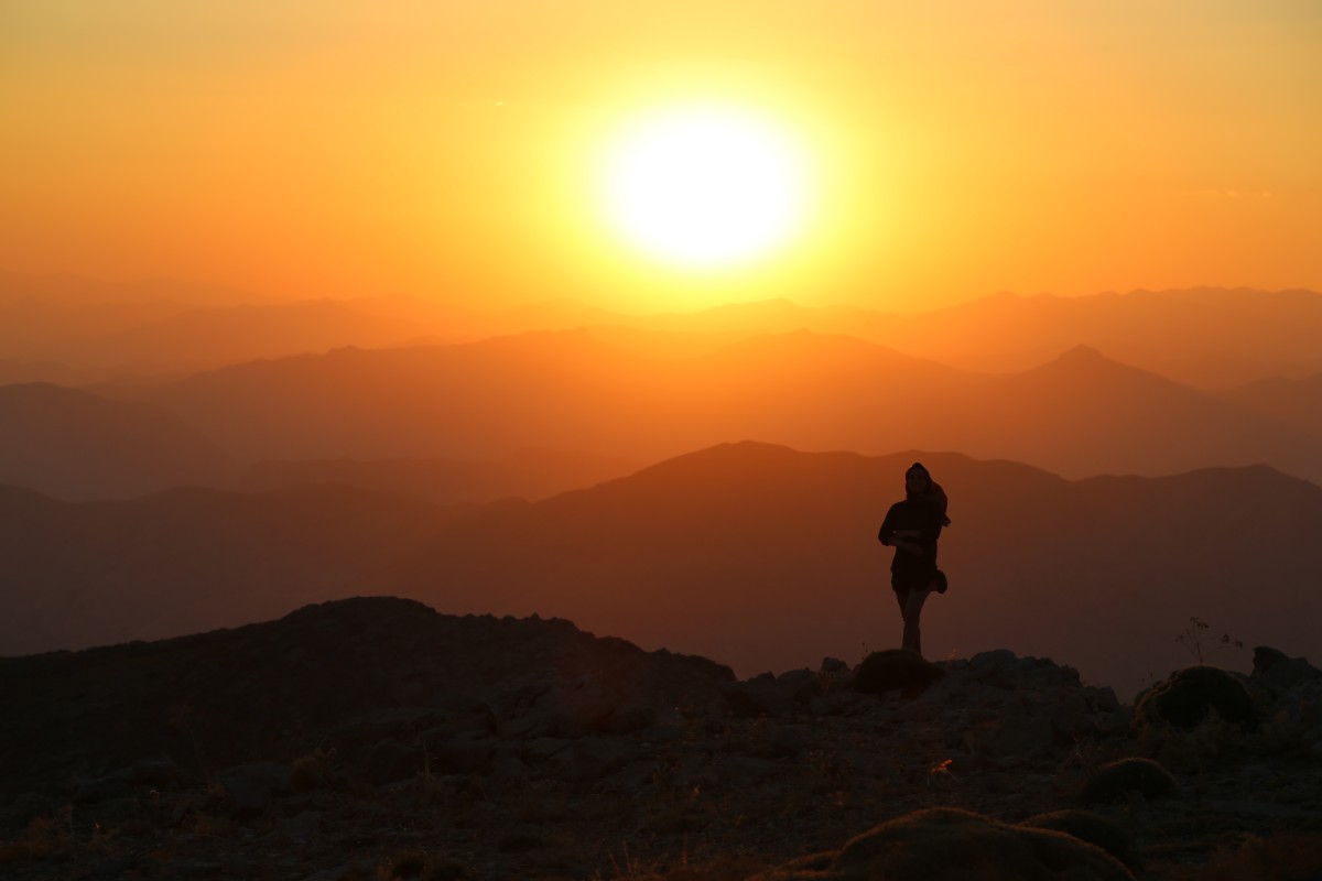
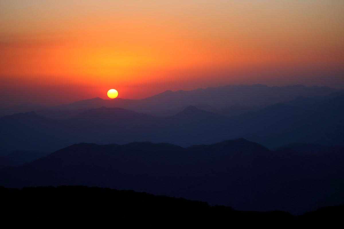
Mount Mereto is one of the highest peaks in the region for mountaineering activities. It is quite suitable for day hikes and climbing in spring and autumn, winter activities and climbing in winter, and camping in summer.
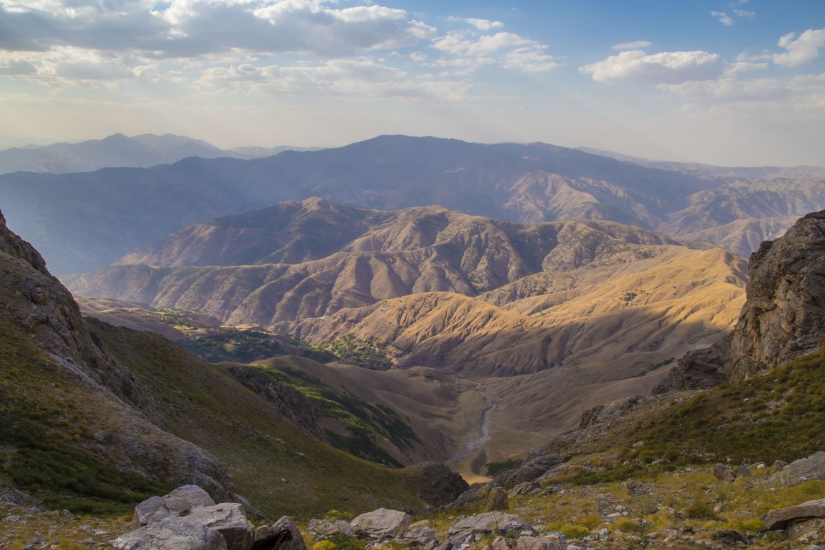
Yürekli Village can be accessed by vehicle year-round. From the village, the route starts with a 3 km dirt road leading towards the summit. Hikers can continue on the dirt road or take a footpath to reach Otnag Highland. Water sources are generally available in spring, but in summer and autumn, the only water supply is the spring in Otnag Highland. The highland also has suitable conditions for camping. From Otnag Highland, the ascent to the summit begins. The following 3 km trail is steep and rocky.
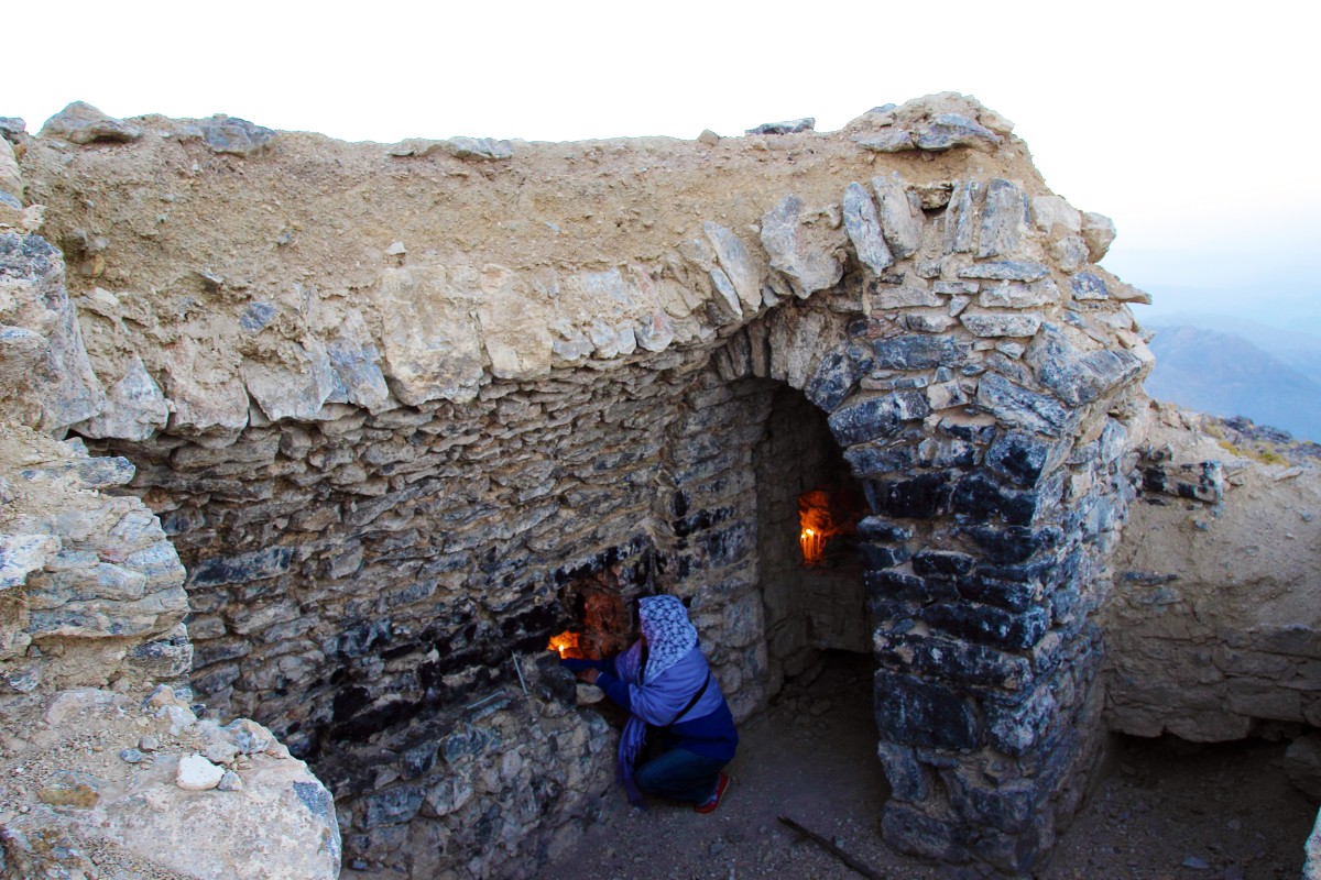
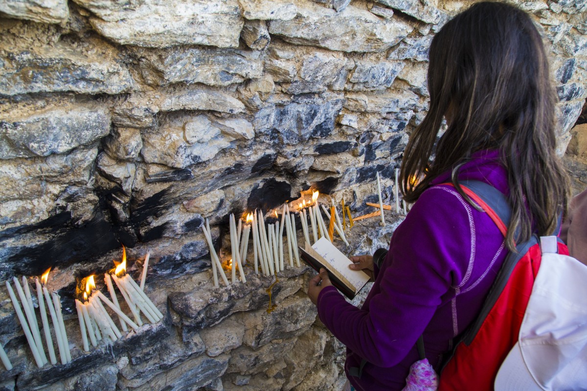
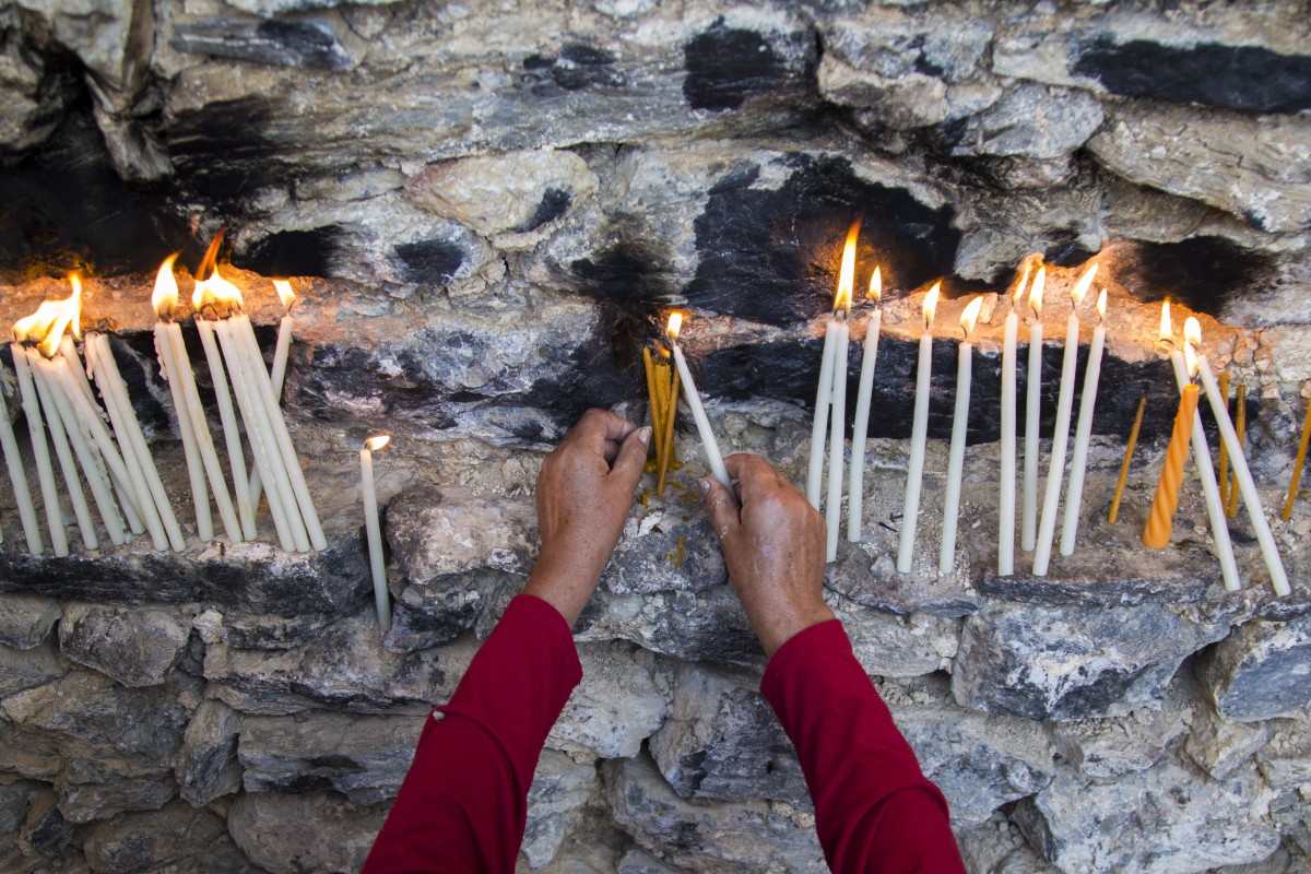
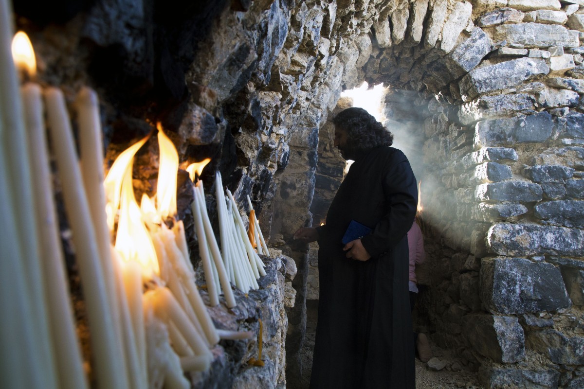
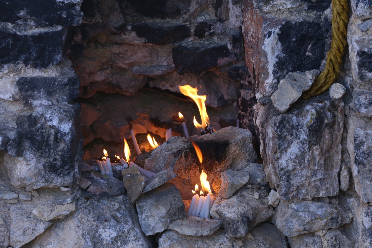
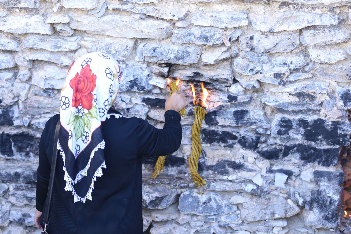
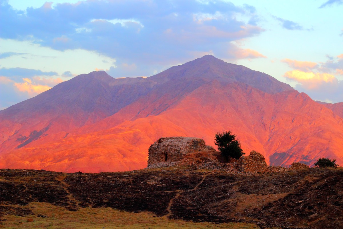
At the summit, there is the Meryem Ana Church. For the descent, there are two different routes. The Şeybazid route is very steep and rocky, so it is not commonly used. The recommended route is to descend back through Otnag Highland and then to Yürekli Village.
Mount Mereto climbing route is challenging with a steep trail of around 18-20 km from Yürekli Village to the summit. This climbing activity takes about 8-10 hours, depending on the effort.