Route Information: Hasanlar Village – Zore Waterfall
Total Distance: 12-14 km (Round Trip)
Hiking Duration: 7-8 hours
Difficulty Level: Easy
Suitable Time: From June to October (5 months)
Accommodation: Suitable for camping activities
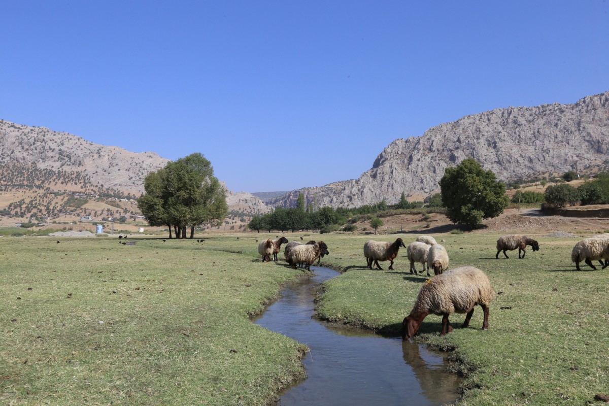
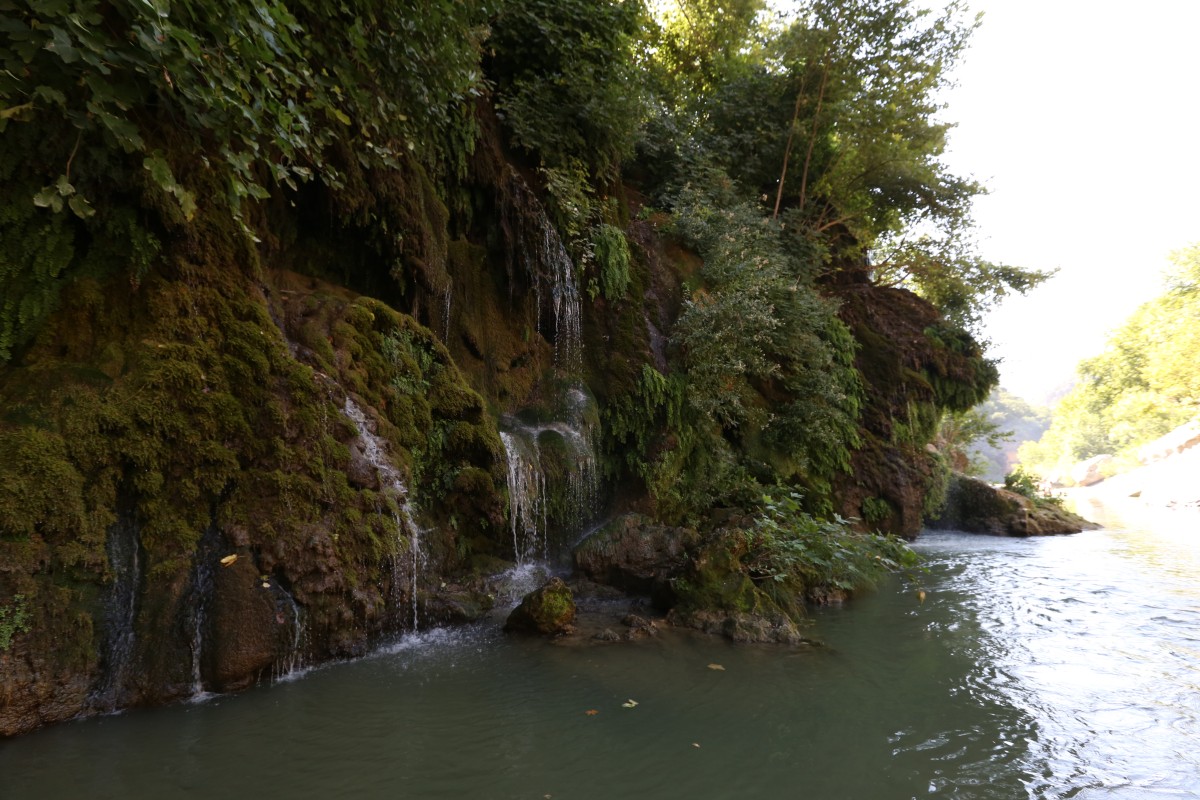
Water Availability: There are springs along the route that flow throughout the year.
Food: Food needs can be partially met in Hasanlar village at the start of the route with the help of local villagers. Otherwise, hikers should be prepared to bring their own food.
Route Details
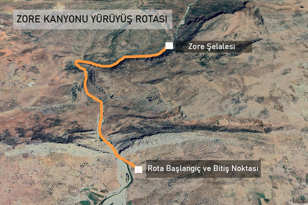
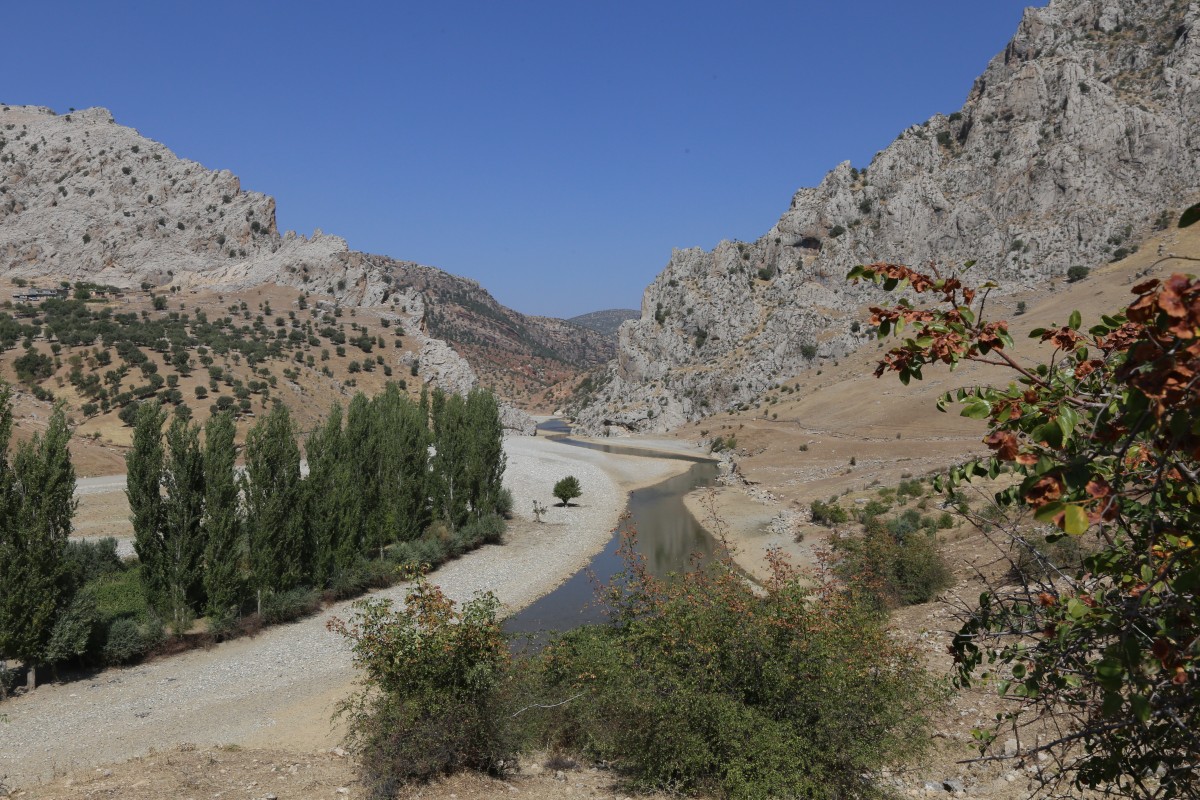
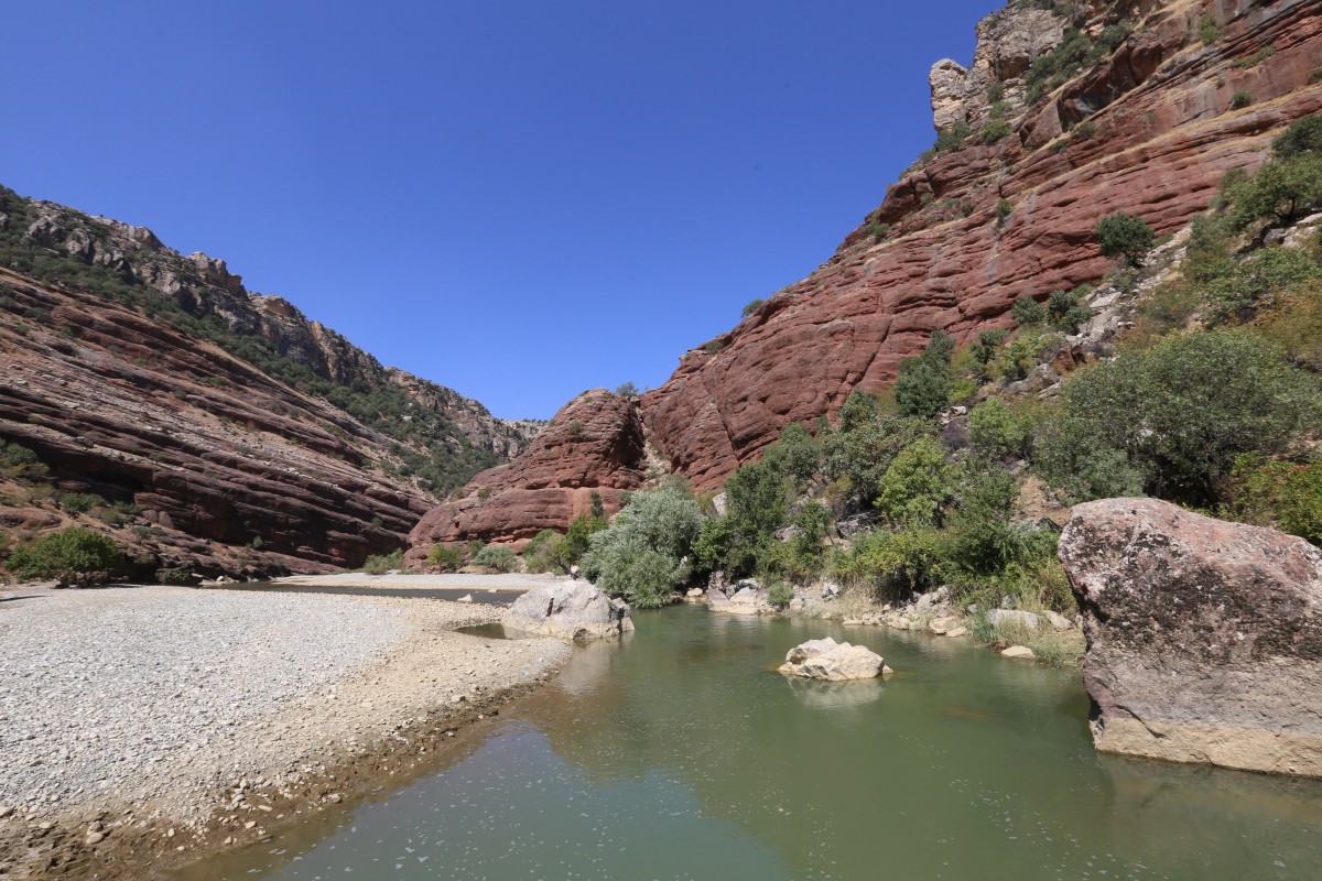
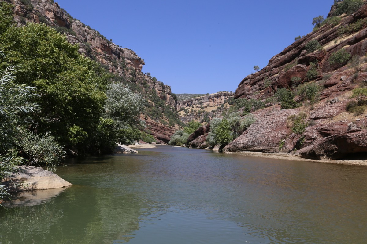
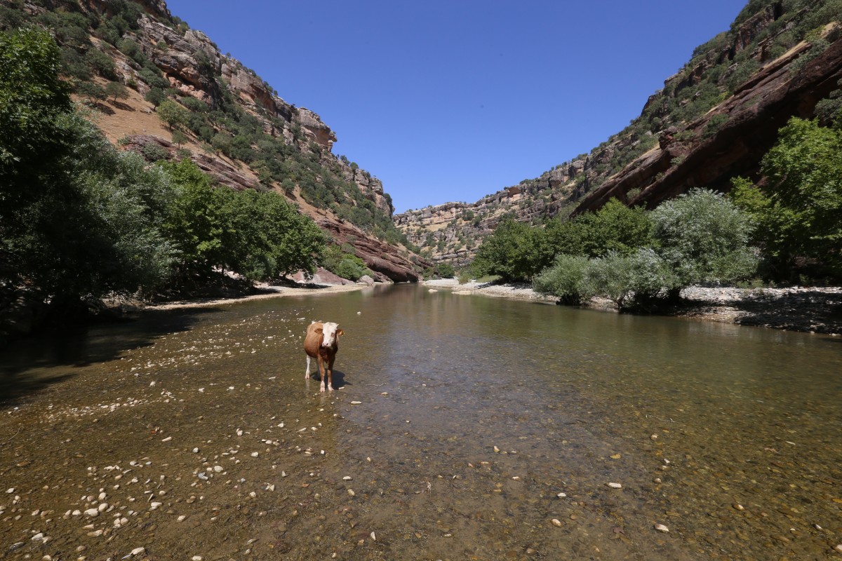
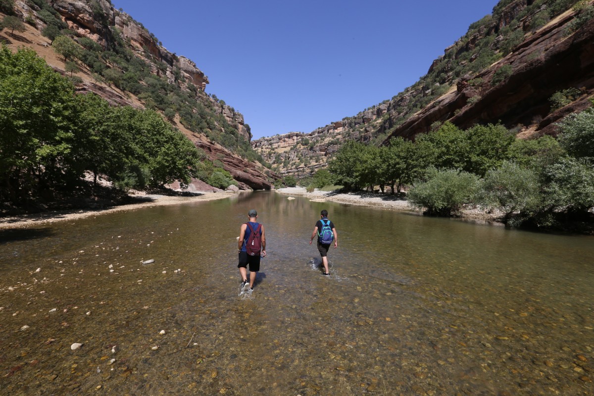
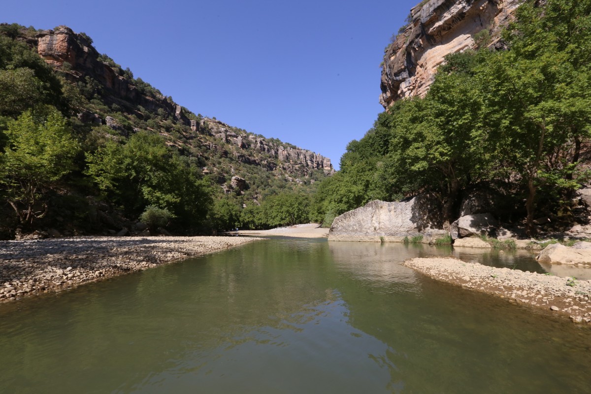
Zore Canyon forms the border between Kulp and Sason districts. Also known as Sorkan Stream, Zore Canyon is made up of streams flowing from the Andok and Zovaser mountains. Located at the intersection of the Batman and Diyarbakır borders, it is suitable for day hikes, canyon walks, and camping activities in summer months. Hasanlar village in Sason can be accessed by vehicle year-round. From the canyon entrance, it takes approximately 7 km walk to reach the Zore Waterfall. At the 5. km of the route, there is a spring actively used by locals. The small streams flowing from the waterfall can also be used as drinking water. The return journey from the waterfall to Hasanlar village is the same distance of 7 km.
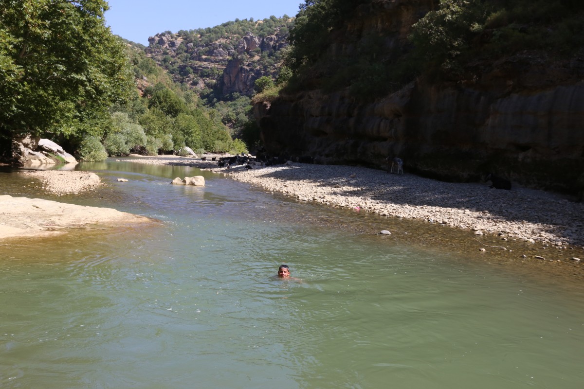
During the period from June to October, walking and swimming activities are possible in the canyon. However, from the autumn to June, the water level rises due to rainfall, making the canyon unsuitable for hiking.
The Zore Canyon route is approximately 7 km one way, and 7 km back, totaling around 14 km. This canyon activity can be completed in 8-10 hours, depending on the level of effort and swimming activities.