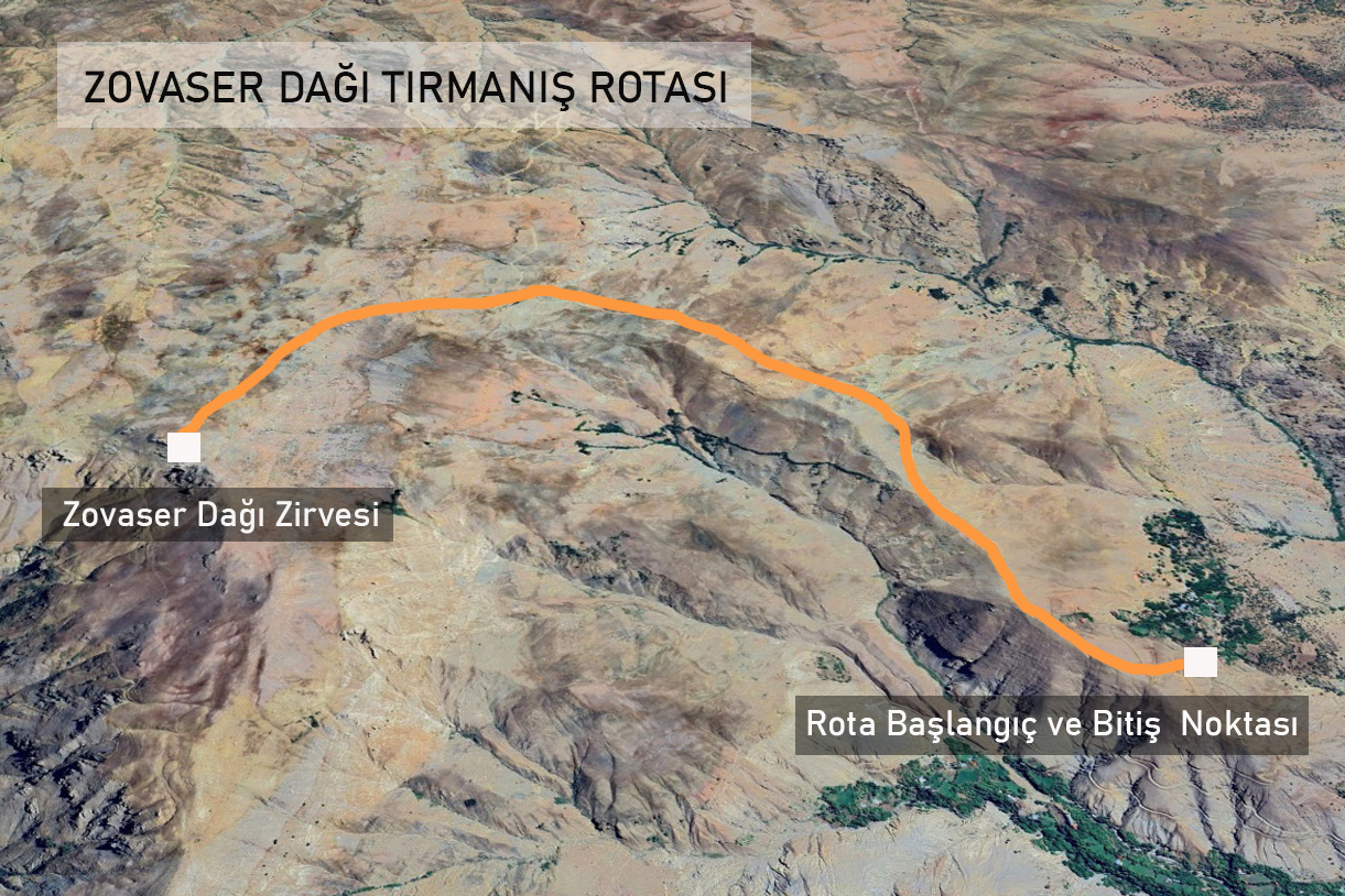
Route Information: Sarıgan Village – Mount Zovaser Summit
Total Distance: 14-16 km
Hiking Duration: 9-10 hours
Difficulty Level: Medium Hard
Suitable Time: All seasons
Accommodation: Suitable for camping
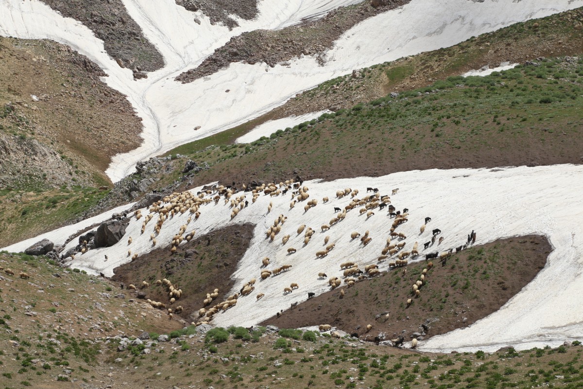
Water Availability: There are springs along the route in all seasons, but water may become scarce from the summit area onwards.
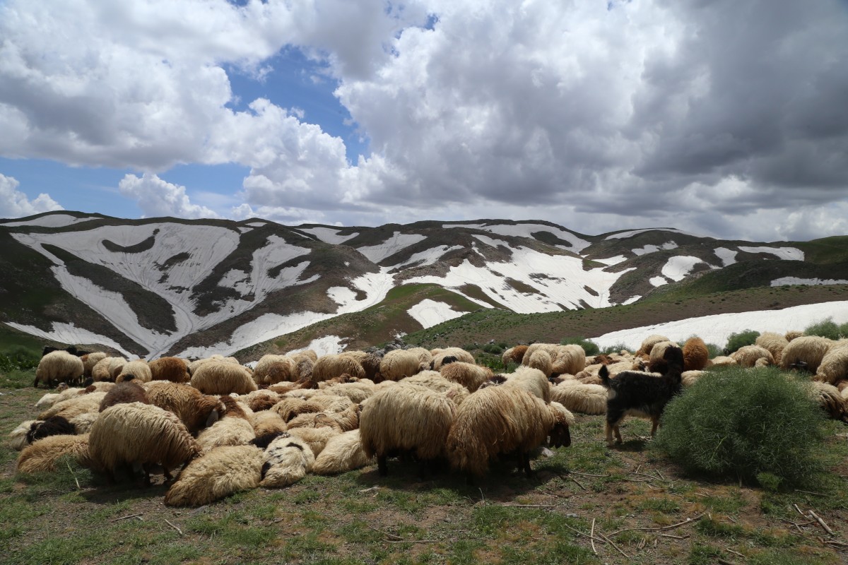
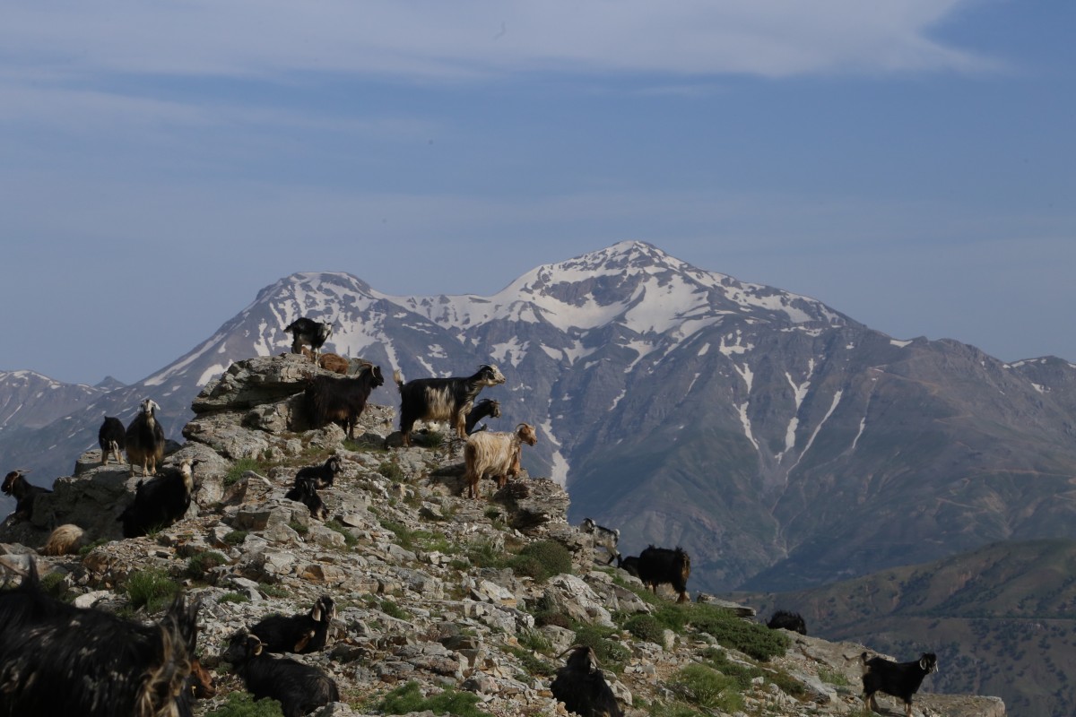
Food: Food can be partially obtained from the villagers in Kaleyolu or Sarıgan villages, which are at the beginning of the route. However, hikers should be prepared to bring their own food. In summer, food can also be obtained from the highland.
Route Details
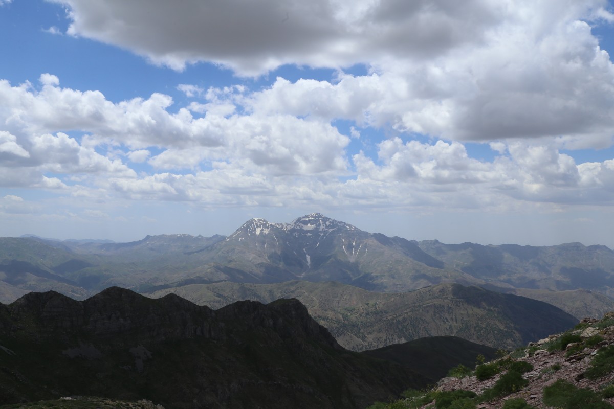
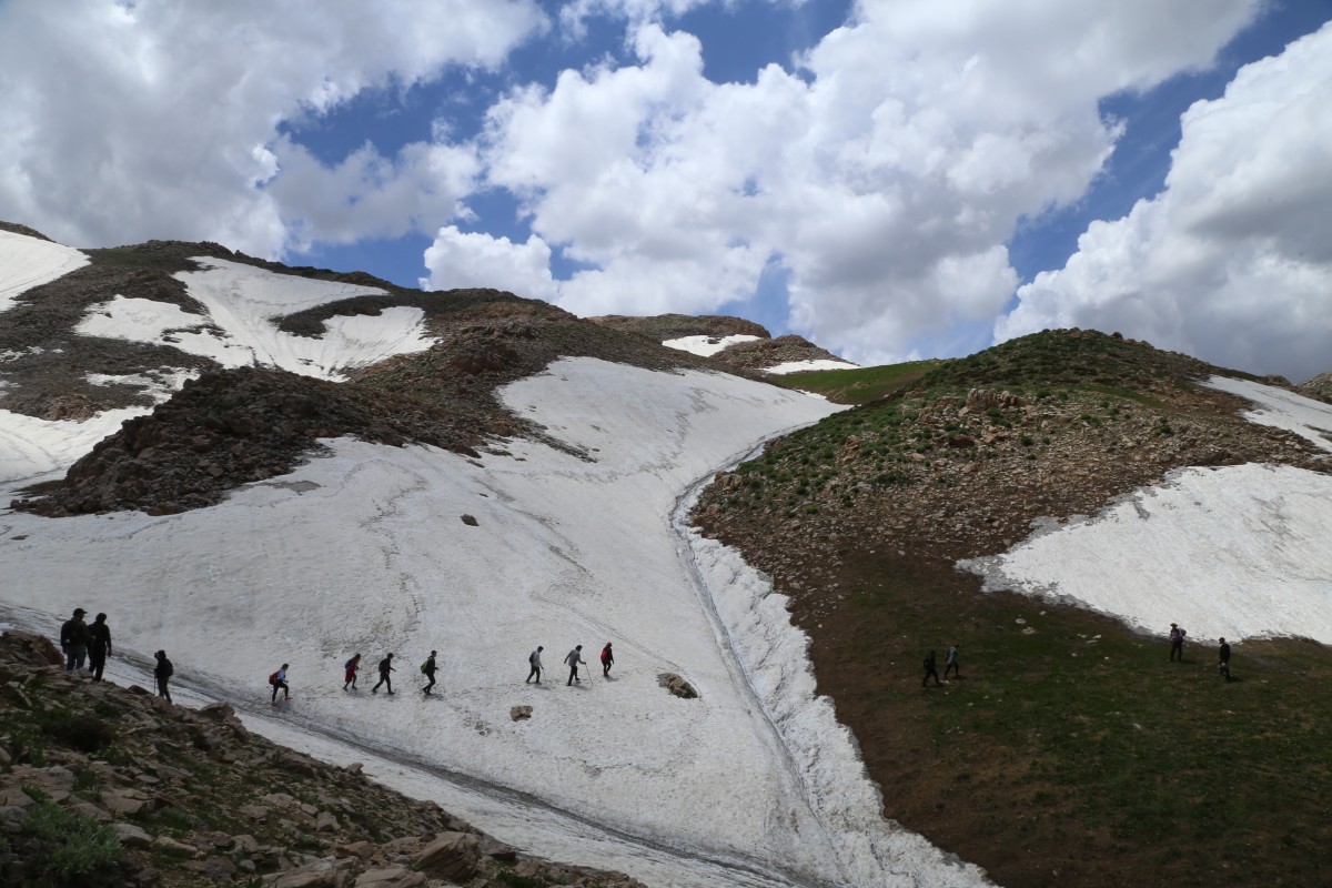
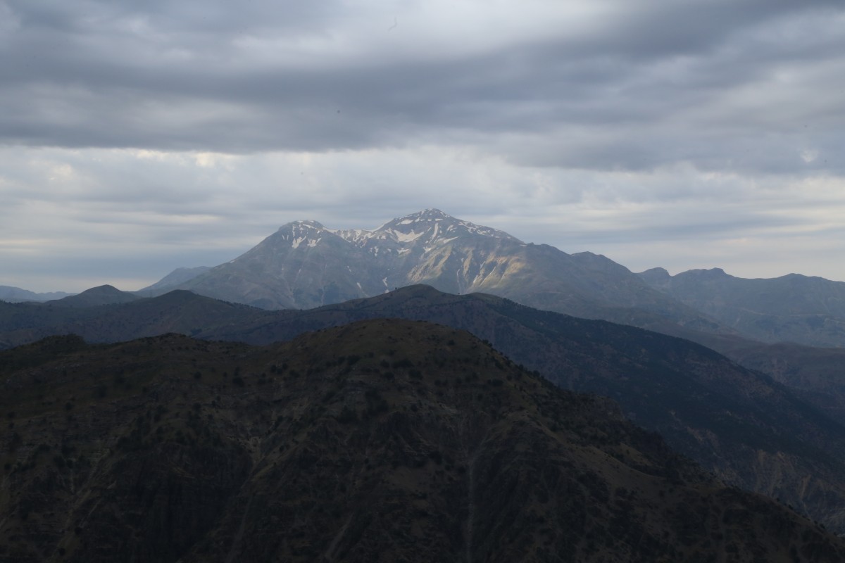
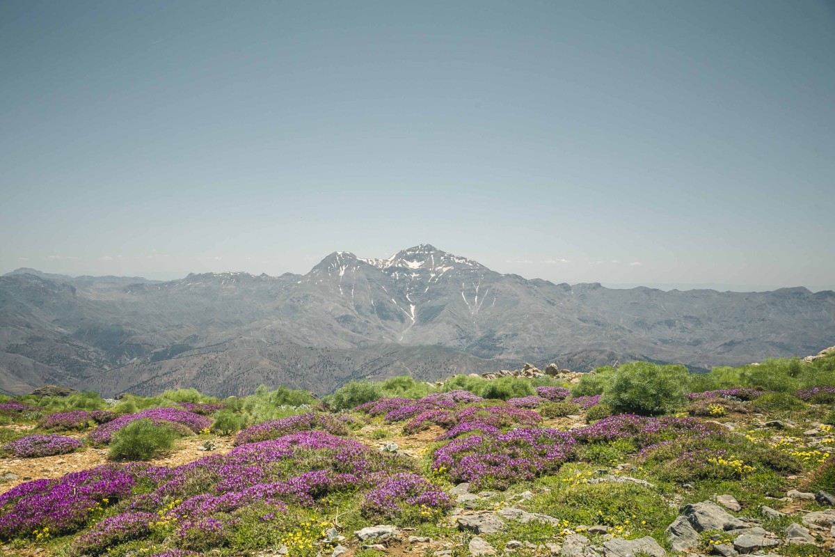
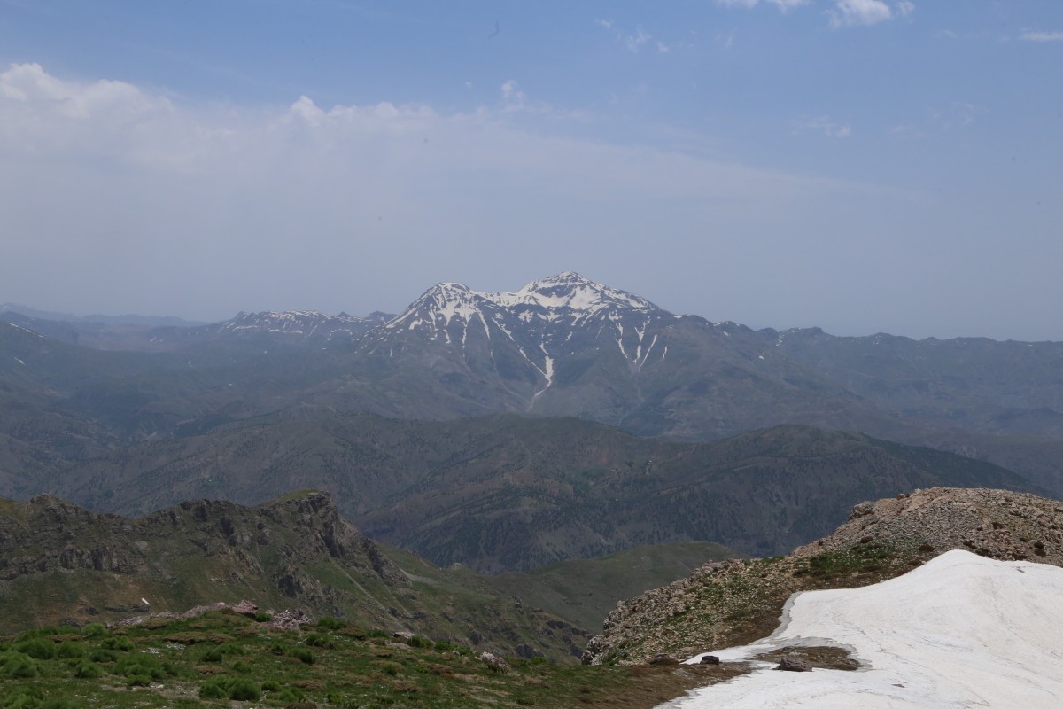
Mount Zovaser, located in the Southeastern Taurus range, is one of the highest summits, standing at 2721 meters. It is situated at the intersection of Sason, Muş, and Diyarbakır borders. It is officially named Mount Subaşı in records. it is ideal for day hikes and climbing in springs, winter activities and climbing in winters, and camping in summers.
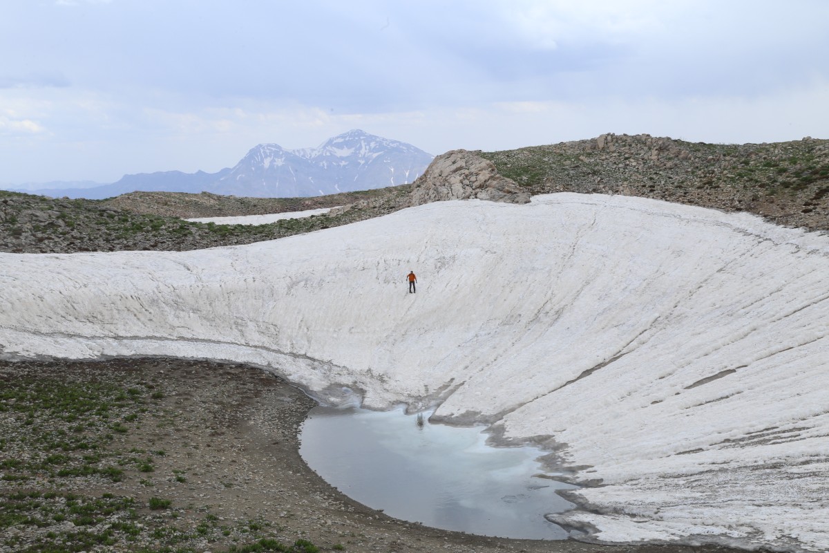
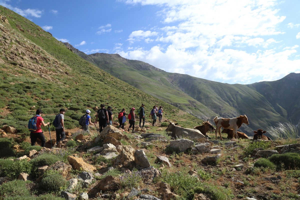
Sarıgan village can be accessed by vehicle at all times. From Kaleyolu village, a dirt road leads to Sarıgan village. From Sarıgan village, at 1800 meters elevation you can follow a dirt path or trail for 2 km to reach the spring. From here, the hike continues horizontally along the mountain slope for 3 km until reaching an elevation of 2400 meters, where a steeper ascent begins. The summit is reached after another 4 km of climbing. The Zovaser mountaintop itself stretches horizontally for about 3 km. On the mountaintop area, there are three hills, which could be considered as summits and several small lakes. The descent from the summit to the spring is done via a different path, which includes walking on the steep slopes for 5 km, thus making a round route. From the spring, hikers can return to Sarıgan or Kaleyolu villages. Kaleyolu village was once the center of the Sason district. In the early 1900s, the town center moved to its current location.
Mount Zovaser climbing route is a medium hard route with approximately 15-18 km lenght and a 900-meter elevation gain from Sarıgan village to the summit. This climbing activity takes approximately 8-10 hours, depending on the effort.